
From Superior to Michigan—In just a canoe.
On June 5th, 2016, I finished an epic canoe trip and checked one huge item off my bucket list.
Joe Hall, a good fraternity college friend and I left the sandy shores of Lake Superior and began trudging upstream the Autrain River. Destination – Lake Michigan. The first 9 miles were relatively easy, paddling up the lazy river into Autrain Lake. Mosquitoes were present, but the occasional breeze kept them from being too much of a pest.
The forecast called for persistent rain throughout the weekend and into Monday – with a chance for thunderstorms. To protect gear we clipped a tarp to cover the top of the canoe. We had rain gear, a swimsuit, one long pair of pants and a long sleeve shirt, enough food to last a few days, a fishing pole, a Yooper Campfire Grill, tent, sleeping bag, extra paddles, 3 types of water purifiers (iodine, UV light and charcoal filter), compass, knife, sandals, cameras, chargers, first aid kit, maps and a boat pump. We were prepared for the worst – and the weight of the canoe proved it. I wish we had it on a scale, but it’s safe to say it was hundreds of pounds!
We cruised into Autrain Lake and took turns eating lunch while the other one paddled. At long last we didn’t have to paddle constantly to move forward. Just when things seemed too easy, a strong headwind formed whitecaps and as if nature’s gate were trying to force us back to Superior’s beach. So much for lunch on the go. We powered into the south side of Autrain River.
Here Joe got his first glimpse of backwoods portages. The first one was massive, with no way through, up or under. We took out the heavy bags and carved a route through the woods to the other side of the rivers bend, then went back for the canoe. Mosquitos found us in the swamp and multiplied in force throughout the day.
As we progressed further upstream the portages only grew in size and consistency. But that’s part of the program. There’s no point in complaining. Each portage was met with a positive mindset of – ok, what’s the best way to get through this – up, under, through, or around.
As we climbed in elevation the river grew in strength. Chasing the escaping daylight – we fought our way to the base of Autrain Falls and scoped out the best way to the top. Packs first, we trekked to the top of Cleveland Cliff Basin crossing M94. Then went back for the canoe and painstakingly carried that back up the 1.25 miles to the top.
I had hopes of camping on an island in the basin, but the sun had set and after 21 miles of fighting current, bugs, deadfalls, rain… we were ready to make camp for the night. Finally around 10 pm, we crawled into the tent to escape the bugs and settle in for a much needed good night’s sleep.
We woke at 4:30 am and decided to cat nap another hour before heading out. Well, 4 hours later we both woke again and scrambled to get back in the water.
Cleveland Cliffs was a gorgeous lake. We expected to see a bear or moose on the water’s edge at any moment. No such luck, although a whitetail deer did swim across the lake in front of us. It’s amazing how fast they can swim with their little hooves!
As was our fate on Autrain Lake, the winds picked up with force and the lake went from a flat mirror top to large whitecaps. Fortunately (or so we thought) the wind was from the north and helped drive us to the south bank. As we approached we saw some driftwood lined the entire bank. We paddled straight to where I anticipated the south drainage would be (taking us to Lake Michigan) and were met with a nightmare. Winds jammed us into the driftwood which to our surprise, was in 10 feet of water and still 40 feet from the shore. We fought to get away from the driftwood and back into the lake to regroup and plan our exit. Winds howled and packed us tight into the floating logs, which shifted and threatened to wrap us into their barge of death. Unlike some of the floating logs we encountered on the river, there was no way to climb on top of these logs and drag the canoe to the bank. If we got out of the canoe we most certainly would have been trapped between slamming logs and possibly unable to resurface below the packed wood ceiling. We pushed off the logs and paddled with vigor, and after multiple attempts we finally broke free. We traveled about a quarter mile to the west and found a spot where the logs were only about 10 feet from shore, with shallower sections that we could actually reach bottom and cross. Relieved, we climbed out and pulled the canoe over the logs and onto the bank.
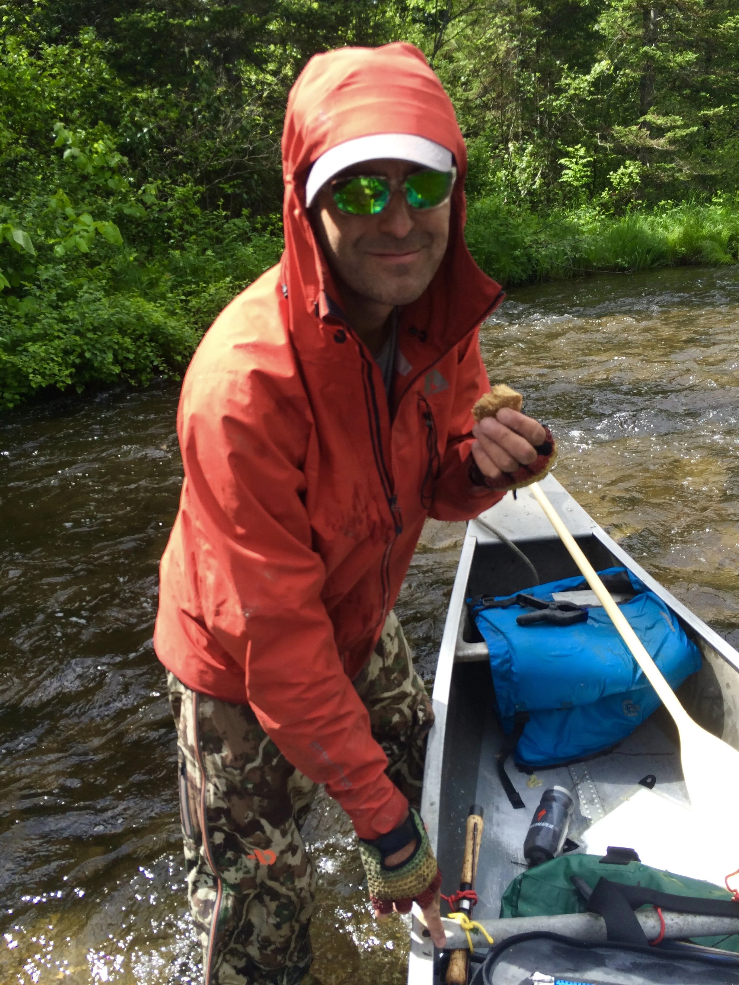
Nothing better than homemade chocolate chip cookies while on an adventure.
Then came the growingly dreaded canoe drag back east to where a small spring trickled into a 12 inch wide creek (or more appropriately called “crik”) on the opposite side of the hill of the Cleveland Cliffs Basin. This “crik”, dug its way through a tag alder swamp and into a beaver pond.
More muck than water, like all the challenges we faced, we dove right in and trudged through waist deep black who knows what and made our way south through the pond. Pulling the canoe over a beaver dam, we entered a small creek with a modestly firm floor and drug the canoe from beaver dam, pond, to creek, back to dam, pond and eventually into Trout Lake.
I have no idea why it’s called Trout Lake. First of all, the water is only about 8 inches deep – not much of a lake. Below that is a silky green undisturbed muck that if you step in will sink who know how far down. Thankfully the lake was just deep enough for the canoe to skim across the surface. Second question, where were the trout?
The water was super cold and crystal clear. So Joe paddled and I pumped water through my charcoal filter and refilled our water bottles – making sure not to disturb the ominous looking muck below the shallow surface.
Trout Lake eventually flows through pipes into what became the East Branch Whitefish River. We were pleasantly surprised to see multiple years of chainsaw cuts of deadfalls. This river was a blast. Decent current (our trip was early June – the longer you wait in the year the less water and flow causing more bottom out problems) and frequent turns through log jam cut obstacles kept us on our toes and provided constant entertainment. Joe barked out orders… left after this log then quick right, left now! Go right again as soon as we past this jam…
It’s a gradual drop in elevation as you make your way to Lake Michigan. Most of this is realized with a modest current. But there were occasional drops of a couple of feet and the ones that had enough water were pretty exciting. However most greeted us with an abrupt halt, grinding against the flat shale bottom – causing us to get out, steady the canoe against the current and drag it to deeper water.
There was one massive deadfall we fought our way through and around on land. It looked like a tornado had gone through the area. Aside from that, the only time we had to get out of the canoe was to cross over a low bridge, occasionally stop on a deadfall to push the canoe over the top or the increasingly frequent – walk the canoe through shallow rocky areas.
As we pushed south we began to entertain the idea that we could actually finish that night. It’s always difficult to estimate the time it takes to canoe a river – but our optimism increased when the East Branch joined the main Whitefish River. The water was finally without obstacles and we were traveling fast. Now 7pm and still 15 miles away, we planned an exit strategy to make camp for the night, but went all in on accomplishing a massive push for Lake Michigan. By 8:30 it was all but sealed as we realized where we were on the river and knew US2 was only a few miles away.
The clouds actually parted and for the first time the sun warmed our skin, which turned into a brilliant sunset as we canoed south, and eventually west around the tip of the peninsula and into the mouth of Little Bay de Noc Lake Michigan.
Why would anything be different on this lake – we were met with a strong headwind as we zeroed in on what we suspected was the light at the harbor where my car had been left for our return.
Triumphant, tired and drenched – we had no time to celebrate. We collected our gear in the fading light, packed the car, lifted the now empty canoe (which felt heavier than ever) to the top of my car and drove to Rapid River’s Swallow Inn with hopes they’d still be open this late on a Sunday night to fill our guts with some warm burgers. They did not disappoint!
For anyone that might be nuts enough to replicate the trip – I’ll give you this warning. Once you get a half mile past the only bridge on the Autrain River south of Autrain Lake – you’ll know what you are in for. If you can’t make it, your best option is to head back south to the bridge and walk along the west Shore of Autrain Lake for help. Cell phone reception is spotty everywhere – and if you are like me and get your phone wet – it won’t work anyway. You have to rely on yourself and the person (people) you are with to get the job done. We made no errors and our planned path perfectly brought us to connecting waterways. It was an amazingly rewarding experience but make no mistake – it was even more amazingly difficult. You will be tested at every turn. Nature is relentless and the UP has its own tricks up her sleeve.
I’m deeply grateful for Joe Hall to help me get through this dream I’ve carried for too many years and will forever look back at it with a proud smile. 60.33 miles of absolute Yooper bliss.